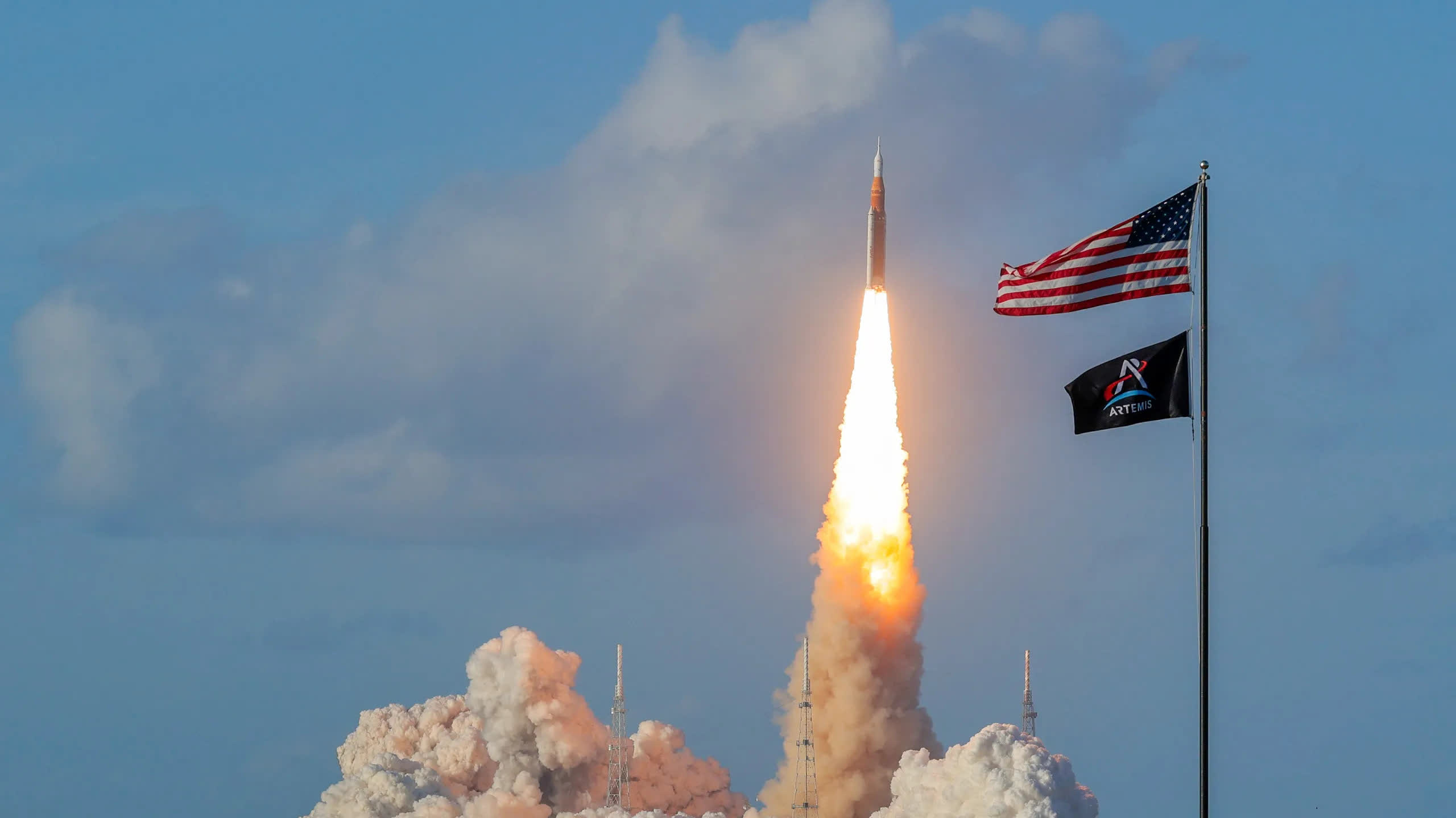
Ripple effect: Earlier this year, the Artemis II mission carried astronauts around the moon and back for the first time in more than half a century. The historic mission also took a “heavy” toll on our planet’s outermost ionized atmosphere, researchers said.
The Artemis II mission in April this year created two large holes in Earth’s ionosphere, causing significant disturbances that could affect the accuracy of GPS positioning. A new study by Taiwanese researchers shed light on how modern launch systems can affect the atmosphere and how future exploration missions will affect one of the most important orbital systems in everyday life.
The study was published in the pre-print online edition of the journal Geophysical Research Letters by a team of scientists from National Cheng Kung University in Taiwan. Researchers used a network of ground-based, high-precision GPS receivers to capture the effects of the Artemis II launch. The same network is currently used by US scientists to measure tiny movements in the Earth’s tectonic plates during earthquakes.
The ground-based network can detect how free electrons in the ionosphere are affected by a rocket penetrating the atmosphere and measure the delay of GPS signals transmitted from orbiting satellites to the receiving network. The ionosphere is the ionized portion of Earth’s upper atmosphere and ranges from 48 km to 965 km (about 30 to 600 miles) above sea level.
The ionosphere plays a crucial role in the propagation of radio signals around the globe, and any disruption to its electromagnetic field can also affect GPS signals. According to the new study, the first Artemis II launch was more powerful than any other rocket launch to date. NASA’s Space Launch System (SLS) caused a disruption in the ionosphere ten times more severe than that observed during SpaceX’s Starship tests.
The researchers said Artemis II created two large electromagnetic holes in Earth’s ionosphere. The first event was caused by the 65 meter long core stage of the SLS launch vehicle, while the other was caused by two subsequent engine burns of the system’s upper stage. Both holes spanned 5,000 km (approximately 3,107 miles) and caused the GPS system to miss the reported ground position by several meters.
According to Professor Charles Lin, one of the co-authors of the new study, the disrupted GPS signal “could have a strong impact not only on self-driving cars, but also on drone positioning.”
“A positioning error of a few meters is enough to make an autonomous car change lanes,” Lin said.
The GPS satellite constellation orbits the planet at about 20,200 km (12,552 miles) above sea level, well above the ionosphere. However, GPS signals must pass through all layers of the lower atmosphere before reaching users’ smartphones, ground stations and self-driving cars. Lin now believes that future missions, including those to the lunar surface and Mars, are likely to increase the potential disruption to GPS service.